Log in
All resources
Create a design
5 Free Images of 18th Century Maps Of Martinique
prints from bonne atlas de toutes les parties at the peace palace library
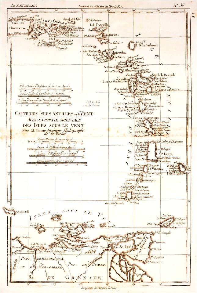
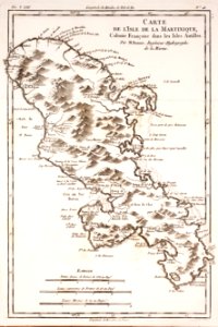
maps by rigobert bonne
old maps of saint lucia
saint vincent and the grenadines
maps of isla margarita
18th-century maps of barbados
18th-century maps of guadeloupe
18th-century maps of puerto rico
18th-century maps of trinidad and tobago
maps of sint maarten
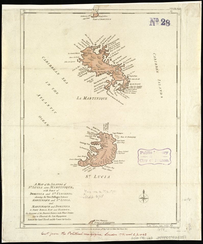
18th-century maps of martinique
john lodge (engraver)
saint vincent and the grenadines
maps of isla margarita
18th-century maps of martinique
dien (printer)
historical
history
historical
history
1 - 5 of 5
/ 1